The Rufiji River lies entirely within the African nation of Tanzania. The river is formed by the convergence of the Kilombero and Luwegu rivers. It is approximately 600 km (375 mi) long, with its source in southwestern Tanzania and its mouth on the Indian Ocean at a point between Mafia Island called Mafia Channel. Its principal tributary is the Great Ruaha River. It is navigable for about 100 km (60 mi).
The Rufiji is about 200 km (120 mi) south of Dar-es-Salaam. The river’s delta contains the largest mangrove forest in the world.
The largest river in Tanzania with its spectacular array of plants and animals can be devided into four distinct parts.
Starting up river where rivers like the Luwegu and Kilombero (Ulanga) form to become the Rufiji River at the Shuguli falls. Then flowing North-East through the Selous Game Reserve to be joined by the Ruaha River, entering its second part when entering the Stieglers Gorge.
Here the Rufiji River makes his path through a 8 km narrow canyon, only approximatly 100 metres wide. In this gorge the river heads down over rapids known as “Pangani Rapids”, Conman´s Foil and Ropeway Rapids.
Finally flowing out into a wide area where it splits into many different channels and lakes known as Lake Tagalala, Lake Manze, Lake Nzelekela, Lake Siwandu and Lake Mzizimia, the actual photographic tourist game viewing area within the Selous Game Reserve.
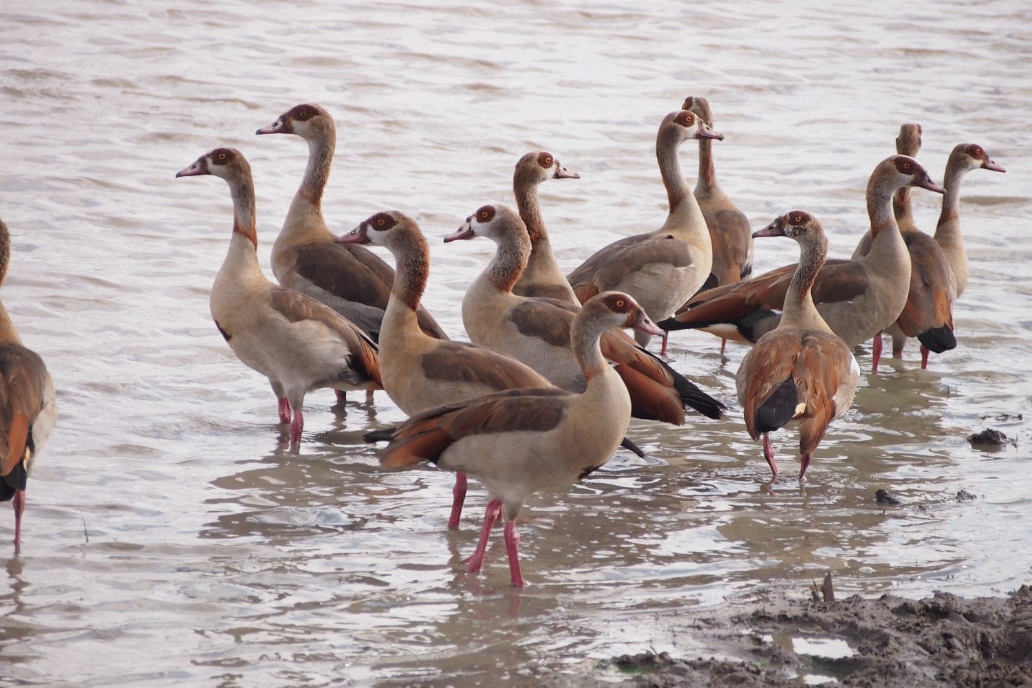
All this time the river has been flowing through an area only inhabitat by plants, animals and birds, with the occasional tourists doing a boat safari.
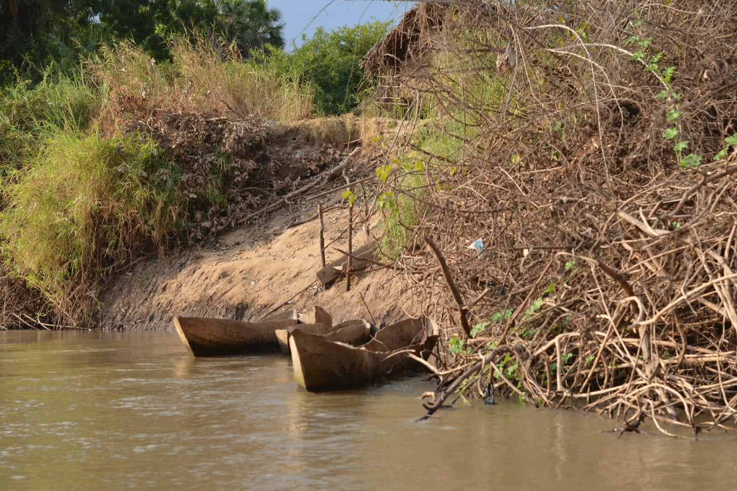
As soon as the river leaves the Selous Game Reserve, the first village shows up on its banks, with fishing canoes and village farms. The Rufiji is free of swamps such as the Zambezi which prevent human appreciation of its waters from shore, and thus the Rufiji is also free from extensive mosquito breeding in this area, and many a village is prettily situated on his banks facing the river.
The river passes Utete, the starting point up river of larger canoes or boats, having travelled roughly half of its journey towards its delta from the Selous Game Reserve, and supporting grasslands, woodland, forests, swamps and thirteen other permanent lakes.
Finally it reaches its delta which is the home to the largest mangrove forest on the eastern coast of Africa- a massive 53,000 hectares.
In the delta is also the last resting place of the “Königsberg”, a German Cruiser sunk there by the British during World War 1 after sustaining damage and trying to fight off a superior force of attackers, it has however sunk even deeper into the Rufiji sands & silt, obscuring it entirely from view. Also the “Somali´s” last resting place is in the delta, being a coal ship to the “Königsberg” and also being sunk there.


